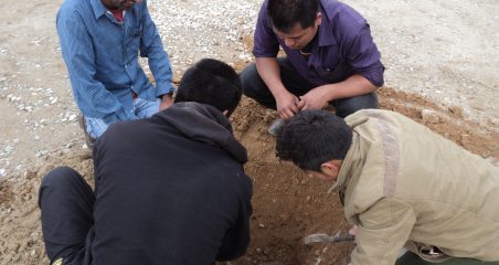
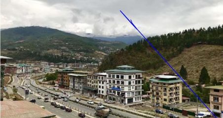
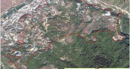
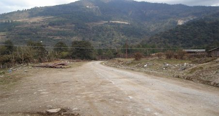
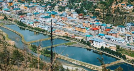
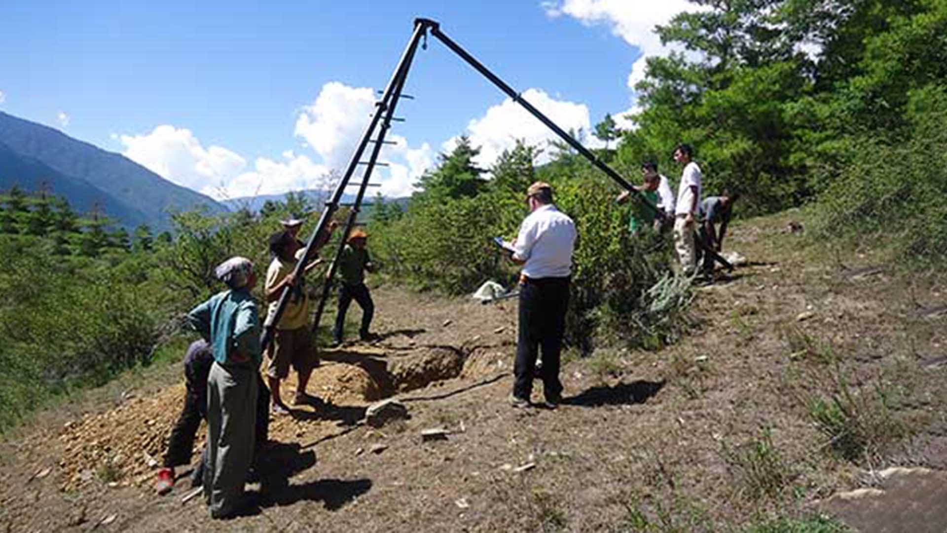
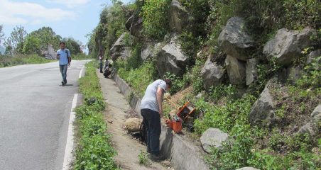
In our experience, the key to any engineering design project lies in having a high accuracy and precision topographic survey information. An error in this aspect results in wrong design concept, miscalculated quantities and cost, and delays project progress.
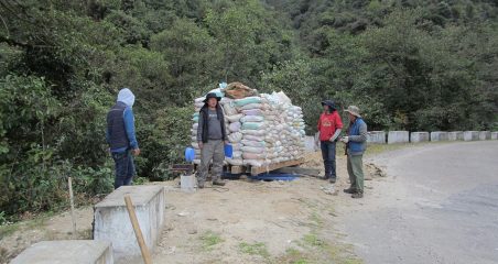
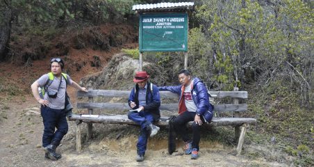
APECS was one of the first few consulting firms in Bhutan to have a complete set of equipment and team to support both government and corporate clients with complex topographic surveys.
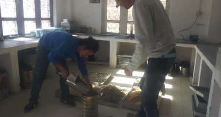
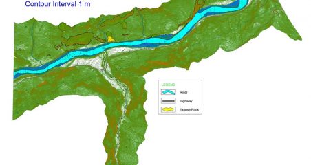
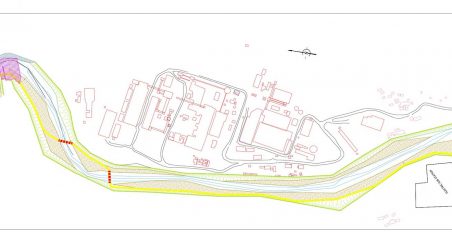
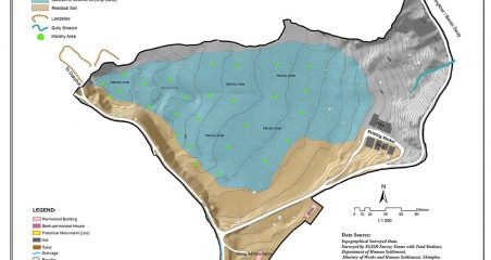
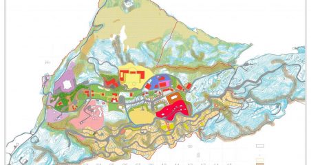
GIS and Remote Sensing enables clients to capture, sort, and interpret spatial and geographic data that’s critical to their projects- from spatial analysis to business database management. The field and its application are relatively new to Bhutan.
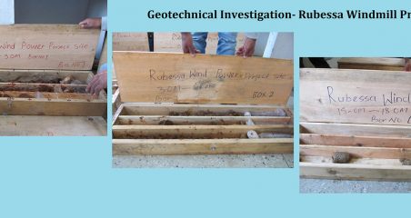
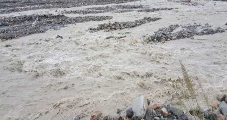
APECS has been prompt to respond to the industry needs by setting up an inhouse GIS and RS team who solve design solutions for complex engineering projects such as floods, climate change, geotechnical studies among other. This allows our clients to uncover actionable insights from location data, map layers, and 3D modeling.
Key Focus Areas
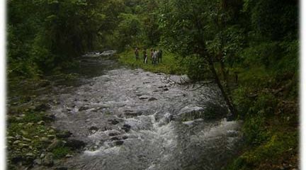
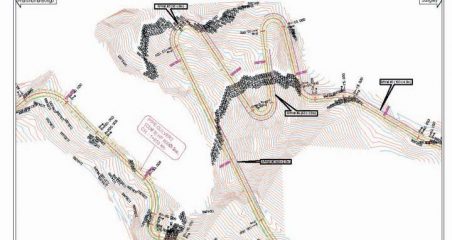
- Topographical Surveying
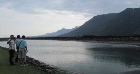
- Bathymetric Surveying
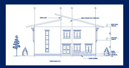
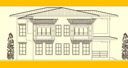
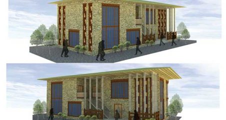
- Building survey and layout
- Roads and Irrigation alignment survey and stakeout
- Geoprocessing and geocoding
- GIS database design
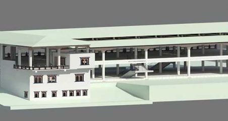
- 3D modelling and mapping
- GIS training